
Scherpenberg topographic map
Interactive map
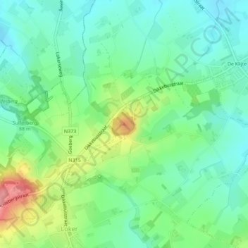
Click on the map to display elevation.
About this map
Name: Scherpenberg topographic map, elevation, terrain.
Average elevation: 69 m
Minimum elevation: 37 m
Maximum elevation: 139 m
Other topographic maps
Click on a map to view its topography, its elevation and its terrain.
Kemmelbeek
België > Vlaanderen > Heuvelland
Kemmelbeek, Heuvelland, Ieper, West-Vlaanderen, Vlaanderen, 8956, België
Average elevation: 53 m
Wulvergem
België > Vlaanderen > Heuvelland
Wulvergem, Heuvelland, Ieper, West-Vlaanderen, Vlaanderen, 8952, België
Average elevation: 46 m