
Celles topographic map
Interactive map
Click on the map to display elevation.
About this map
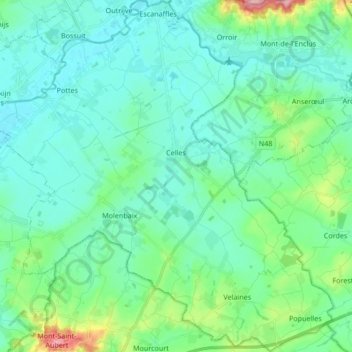
Name: Celles topographic map, elevation, terrain.
Location: Celles, Henegouwen, Wallonië, 7760, België (50.65207 3.36545 50.75878 3.53290)
Average elevation: 33 m
Minimum elevation: 7 m
Maximum elevation: 145 m