
Fermentelos topographic map
Interactive map
Click on the map to display elevation.
About this map
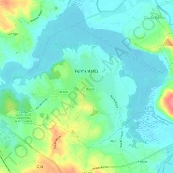
Name: Fermentelos topographic map, elevation, terrain.
Location: Fermentelos, Águeda, Aveiro, Baixo Vouga, Centro, Portugal (40.55014 -8.55815 40.58055 -8.50227)
Average elevation: 22 m
Minimum elevation: -1 m
Maximum elevation: 83 m