
Aalter topographic map
Interactive map
Click on the map to display elevation.
About this map
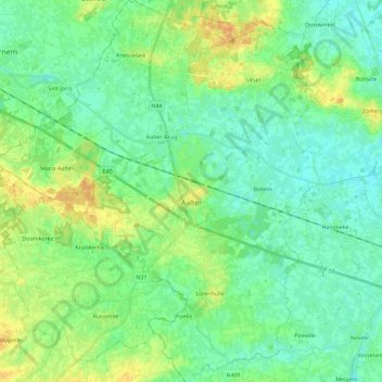
Name: Aalter topographic map, elevation, terrain.
Location: Aalter, Gent, East Flanders, Flanders, Belgium (51.01646 3.33125 51.15988 3.52537)
Average elevation: 13 m
Minimum elevation: 3 m
Maximum elevation: 31 m