
Oña topographic map
Interactive map
Click on the map to display elevation.
About this map
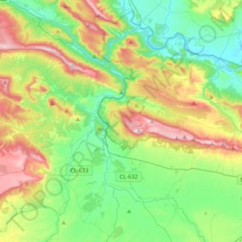
Name: Oña topographic map, elevation, terrain.
Location: Oña, La Bureba, Burgos, Castilla y León, 09530, España (42.63410 -3.49575 42.79383 -3.20332)
Average elevation: 747 m
Minimum elevation: 515 m
Maximum elevation: 1,231 m