
Karad topographic map
Interactive map
Click on the map to display elevation.
About this map
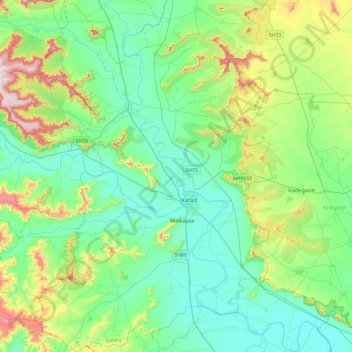
Name: Karad topographic map, elevation, terrain.
Location: Karad, Satara, Maharashtra, India (17.09116 73.97553 17.53872 74.29316)
Average elevation: 674 m
Minimum elevation: 540 m
Maximum elevation: 1,105 m