
Fouka topographic map
Interactive map
Click on the map to display elevation.
About this map
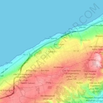
Name: Fouka topographic map, elevation, terrain.
Location: Fouka, Daïra Fouka, Tipaza, 42440, Algérie (36.62156 2.70212 36.70156 2.78212)
Average elevation: 76 m
Minimum elevation: -1 m
Maximum elevation: 221 m