
Yungay topographic map
Interactive map
Click on the map to display elevation.
Yungay
The Cordillera Blanca traverses the province. Waskaran, the highest elevation of Peru, lies on the border to the Carhuaz Province. Other mountains are listed below.
About this map
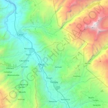
Name: Yungay topographic map, elevation, terrain.
Location: Yungay, Province of Yungay, Ancash, Peru (-9.17868 -77.78294 -8.99381 -77.57379)
Average elevation: 3,365 m
Minimum elevation: 2,079 m
Maximum elevation: 6,363 m