
سوات topographic map
Interactive map
Click on the map to display elevation.
About this map
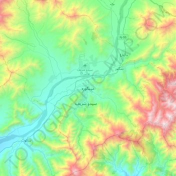
Name: سوات topographic map, elevation, terrain.
Location: سوات, Swāt District, Khyber Pakhtunkhwa, 19201, Pakistan (34.60813 72.20846 34.92813 72.52846)
Average elevation: 1,396 m
Minimum elevation: 758 m
Maximum elevation: 2,994 m