
El Sahab topographic map
Interactive map
Click on the map to display elevation.
About this map
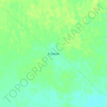
Name: El Sahab topographic map, elevation, terrain.
Location: El Sahab, East Darfur State, Sudan (11.70270 26.35767 11.78270 26.43767)
Average elevation: 486 m
Minimum elevation: 479 m
Maximum elevation: 491 m