
Maraimalai Nagar topographic map
Interactive map
Click on the map to display elevation.
About this map
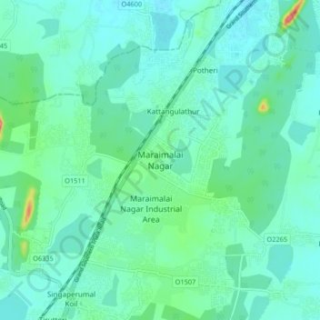
Name: Maraimalai Nagar topographic map, elevation, terrain.
Location: Maraimalai Nagar, Chengalpattu, Tamil Nadu, 603209, India (12.75582 79.98691 12.83582 80.06691)
Average elevation: 49 m
Minimum elevation: 32 m
Maximum elevation: 123 m
Other topographic maps
Click on a map to view its topography, its elevation and its terrain.