
Haddada topographic map
Interactive map
Click on the map to display elevation.
About this map
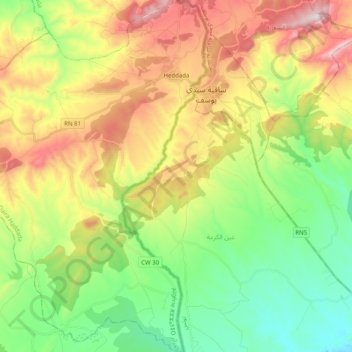
Name: Haddada topographic map, elevation, terrain.
Location: Haddada, Daïra Haddada, Souk Ahras, Algérie (36.10369 8.19650 36.26480 8.35521)
Average elevation: 666 m
Minimum elevation: 381 m
Maximum elevation: 1,102 m