
Bantikow topographic map
Interactive map
Click on the map to display elevation.
About this map
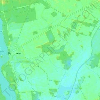
Name: Bantikow topographic map, elevation, terrain.
Average elevation: 41 m
Minimum elevation: 36 m
Maximum elevation: 48 m
Other topographic maps
Click on a map to view its topography, its elevation and its terrain.
Plänitzer Siedlung
Deutschland > Brandenburg > Wusterhausen/Dosse > Plänitzer Siedlung
Plänitzer Siedlung, Wusterhausen / Dosse, Wusterhausen/Dosse, Ostprignitz-Ruppin, Brandenburg, 16868, Deutschland
Average elevation: 37 m