
Gravesham topographic map
Interactive map
Click on the map to display elevation.
About this map
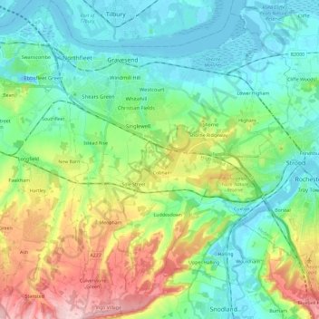
Name: Gravesham topographic map, elevation, terrain.
Location: Gravesham, Kent, South East, England, United Kingdom (51.32501 0.31066 51.46934 0.49117)
Average elevation: 63 m
Minimum elevation: -6 m
Maximum elevation: 217 m