
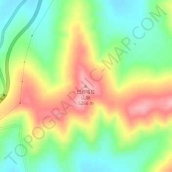
巴颜喀拉山脉 topographic map
Interactive map
Click on the map to display elevation.
About this map
Name: 巴颜喀拉山脉 topographic map, elevation, terrain.
Location: 巴颜喀拉山脉, 玛多县, 果洛藏族自治州, 青海省, 中国 (34.69278 98.09878 34.69288 98.09888)
Average elevation: 4,303 m
Minimum elevation: 4,239 m
Maximum elevation: 4,383 m
巴颜喀拉山脉(蒙古語:Баянхар уул, Bayankhar uul)位于中国青海省中部偏南。从青海的中部偏南向东偏南方向延伸到青海与四川的交界处,全长逾780公里。巴颜喀拉山脉的名字来自蒙古语,意为「富饶青色的山」。从地质上来看,它是昆仑山脉的一支,最高峰为果洛山,海拔高度5,369米。