
Parun topographic map
Interactive map
Click on the map to display elevation.
About this map
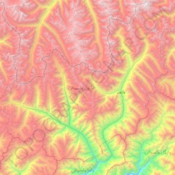
Name: Parun topographic map, elevation, terrain.
Location: Parun, Nuristan, Afghanistan (35.21526 70.46092 35.64843 71.09064)
Average elevation: 4,048 m
Minimum elevation: 1,926 m
Maximum elevation: 5,821 m