
Umrabad topographic map
Interactive map
Click on the map to display elevation.
About this map
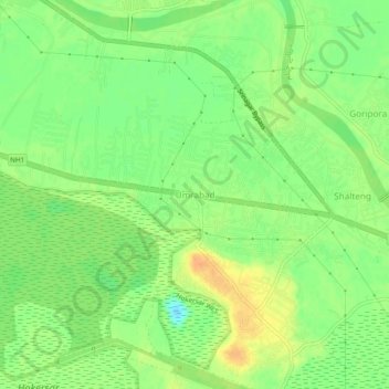
Name: Umrabad topographic map, elevation, terrain.
Location: Umrabad, Budgam, Badgam, Jammu and Kashmir, 190012, India (34.09134 74.70826 34.13134 74.74826)
Average elevation: 1,584 m
Minimum elevation: 1,567 m
Maximum elevation: 1,599 m