
Jefferson County topographic map
Interactive map
Click on the map to display elevation.
About this map
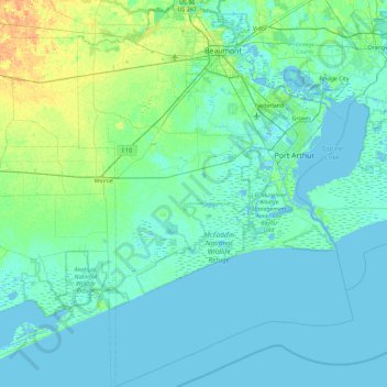
Name: Jefferson County topographic map, elevation, terrain.
Location: Jefferson County, Texas, United States of America (29.56152 -94.44514 30.18947 -93.81131)
Average elevation: 5 m
Minimum elevation: -5 m
Maximum elevation: 22 m