
Saypo topographic map
Interactive map
Click on the map to display elevation.
About this map
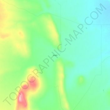
Name: Saypo topographic map, elevation, terrain.
Location: Saypo, Teton County, Montana, United States of America (47.78884 -112.58615 47.82884 -112.54615)
Average elevation: 1,425 m
Minimum elevation: 1,370 m
Maximum elevation: 1,539 m