
Oruro Department topographic map
Interactive map
Click on the map to display elevation.
About this map
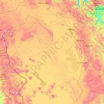
Name: Oruro Department topographic map, elevation, terrain.
Location: Oruro Department, Bolivia (-19.88299 -69.14584 -17.32047 -66.07758)
Average elevation: 3,932 m
Minimum elevation: 2,414 m
Maximum elevation: 6,360 m