
Tinzaouten topographic map
Interactive map
Click on the map to display elevation.
About this map
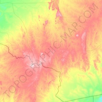
Name: Tinzaouten topographic map, elevation, terrain.
Location: Tinzaouten, Daïra Tinzaouaten, In Guezzam, 11150, Algérie (18.96815 1.77632 21.90395 4.67314)
Average elevation: 578 m
Minimum elevation: 381 m
Maximum elevation: 909 m