
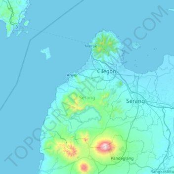
Serang topographic map
Interactive map
Click on the map to display elevation.
About this map
Name: Serang topographic map, elevation, terrain.
Location: Serang, Banten, Indonesia (-6.33577 105.82510 -5.80778 106.41236)
Average elevation: 79 m
Minimum elevation: -1 m
Maximum elevation: 1,741 m