
Kunar topographic map
Interactive map
Click on the map to display elevation.
About this map
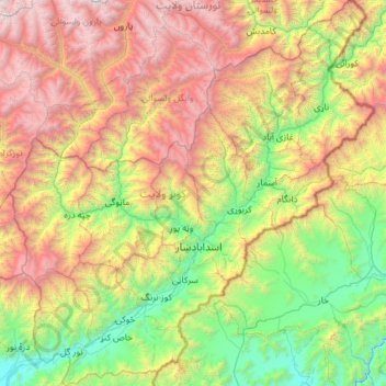
Name: Kunar topographic map, elevation, terrain.
Location: Kunar, Afghanistan (34.52566 70.57784 35.48194 71.68137)
Average elevation: 2,192 m
Minimum elevation: 569 m
Maximum elevation: 5,359 m