
Cascade Range topographic map
Interactive map
Click on the map to display elevation.
About this map
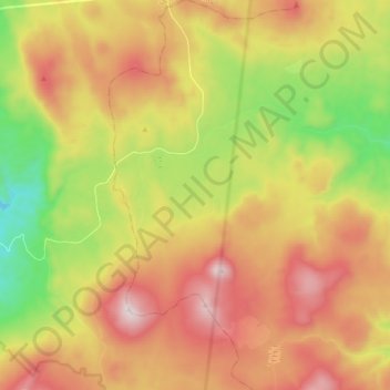
Name: Cascade Range topographic map, elevation, terrain.
Average elevation: 1,241 m
Minimum elevation: 805 m
Maximum elevation: 1,683 m
Other topographic maps
Click on a map to view its topography, its elevation and its terrain.
Bend
United States of America > Oregon > Bend
Bend, Deschutes County, Oregon, United States of America
Average elevation: 1,121 m