
Galeras topographic map
Interactive map
Click on the map to display elevation.
About this map
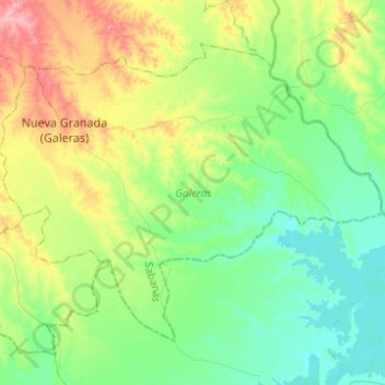
Name: Galeras topographic map, elevation, terrain.
Location: Galeras, Sucre, Colombia (9.02685 -75.09067 9.21535 -74.84378)
Average elevation: 47 m
Minimum elevation: 10 m
Maximum elevation: 132 m