
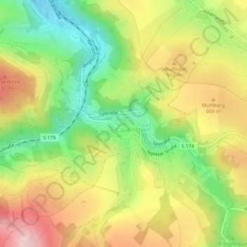
Schloß Lauenstein topographic map
Interactive map
Click on the map to display elevation.
About this map
Name: Schloß Lauenstein topographic map, elevation, terrain.
Average elevation: 559 m
Minimum elevation: 445 m
Maximum elevation: 682 m
Other topographic maps
Click on a map to view its topography, its elevation and its terrain.
Waldidylle
Deutschland > Sachsen > Altenberg > Waldidylle
Waldidylle, Altenberg, Sächsische Schweiz-Osterzgebirge, Sachsen, 01773, Deutschland
Average elevation: 655 m