
Hechtel topographic map
Interactive map
Click on the map to display elevation.
About this map
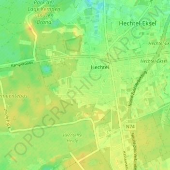
Name: Hechtel topographic map, elevation, terrain.
Location: Hechtel, Bosveld, Maaseik, Limburg, Flanders, 3940, Belgium (51.09941 5.33828 51.13941 5.37828)
Average elevation: 64 m
Minimum elevation: 51 m
Maximum elevation: 73 m