
Glacier County topographic map
Interactive map
Click on the map to display elevation.
About this map
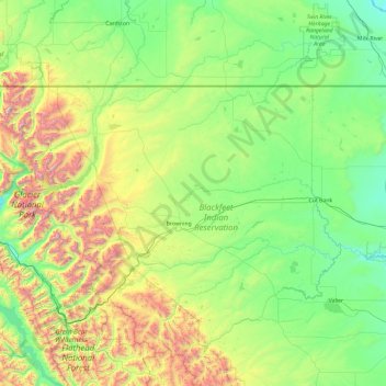
Name: Glacier County topographic map, elevation, terrain.
Location: Glacier County, Montana, United States of America (48.30740 -114.06821 48.99887 -112.18473)
Average elevation: 1,416 m
Minimum elevation: 946 m
Maximum elevation: 3,135 m
Other topographic maps
Click on a map to view its topography, its elevation and its terrain.
Granite County
United States of America > Montana
Granite County, Montana, United States of America
Average elevation: 1,800 m