
Hondo topographic map
Interactive map
Click on the map to display elevation.
About this map
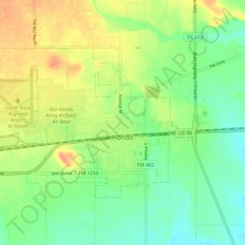
Name: Hondo topographic map, elevation, terrain.
Location: Hondo, Medina County, Texas, 78861, United States (29.32960 -99.20034 29.37393 -99.11754)
Average elevation: 272 m
Minimum elevation: 254 m
Maximum elevation: 293 m
Other topographic maps
Click on a map to view its topography, its elevation and its terrain.