
Parque Natural Montes Obarenes - San Zadornil topographic map
Interactive map
Click on the map to display elevation.
About this map
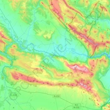
Name: Parque Natural Montes Obarenes - San Zadornil topographic map, elevation, terrain.
Average elevation: 754 m
Minimum elevation: 480 m
Maximum elevation: 1,429 m