
Oostham topographic map
Interactive map
Click on the map to display elevation.
About this map
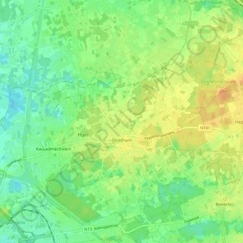
Name: Oostham topographic map, elevation, terrain.
Location: Oostham, Tessenderlo-Ham, Hasselt, Limburg, België (51.07702 5.15708 51.14059 5.23035)
Average elevation: 34 m
Minimum elevation: 19 m
Maximum elevation: 52 m
Other topographic maps
Click on a map to view its topography, its elevation and its terrain.