
Maluku Islands topographic map
Interactive map
Click on the map to display elevation.
About this map
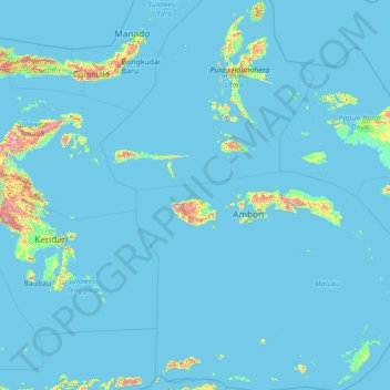
Name: Maluku Islands topographic map, elevation, terrain.
Location: Maluku Islands, Kamin Lahin, Maluku, Indonesia (-8.51985 124.14421 2.64520 134.90869)
Average elevation: 44 m
Minimum elevation: -2 m
Maximum elevation: 2,583 m