
Argentiera topographic map
Interactive map
Click on the map to display elevation.
About this map
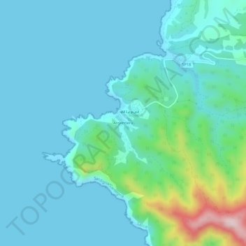
Name: Argentiera topographic map, elevation, terrain.
Location: Argentiera, Sassari, Sardegna, Italia (40.71760 8.12817 40.75760 8.16817)
Average elevation: 59 m
Minimum elevation: 0 m
Maximum elevation: 386 m