
Arvidsjaurs kommun topographic map
Interactive map
Click on the map to display elevation.
About this map
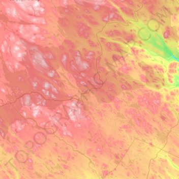
Name: Arvidsjaurs kommun topographic map, elevation, terrain.
Location: Arvidsjaurs kommun, Norrbotten County, Region Norrland, Sweden (65.14279 18.17614 66.17548 20.21714)
Average elevation: 390 m
Minimum elevation: 46 m
Maximum elevation: 773 m
Other topographic maps
Click on a map to view its topography, its elevation and its terrain.