
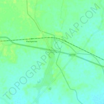
Pachperwa topographic map
Interactive map
Click on the map to display elevation.
About this map
Name: Pachperwa topographic map, elevation, terrain.
Location: Pachperwa, Tulsipur, Balrampur, Uttar Pradesh, 271206, India (27.50486 82.62787 27.54486 82.66787)
Average elevation: 108 m
Minimum elevation: 102 m
Maximum elevation: 113 m