
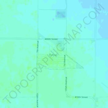
Royal topographic map
Interactive map
Click on the map to display elevation.
About this map
Name: Royal topographic map, elevation, terrain.
Location: Royal, Clay County, Iowa, United States of America (43.06088 -95.28971 43.06850 -95.27359)
Average elevation: 429 m
Minimum elevation: 426 m
Maximum elevation: 432 m