
Kroppefjäll topographic map
Interactive map
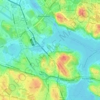
Click on the map to display elevation.
About this map
Name: Kroppefjäll topographic map, elevation, terrain.
Average elevation: 18 m
Minimum elevation: -2 m
Maximum elevation: 47 m
Other topographic maps
Click on a map to view its topography, its elevation and its terrain.
Stocksund
Sweden > Stockholm County > Stocksund
Stocksund, Danderyds kommun, Stockholm County, Region Svealand, 182 07, Sweden
Average elevation: 15 m
Trångan
Trångan, Norrtälje kommun, Stockholm County, Region Svealand, Sweden
Average elevation: 0 m