
Terraguelt topographic map
Interactive map
Click on the map to display elevation.
About this map
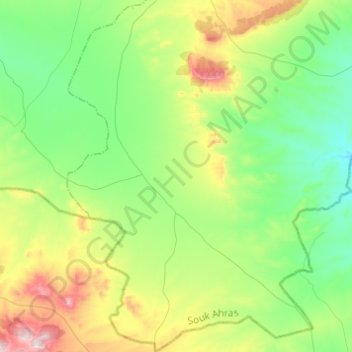
Name: Terraguelt topographic map, elevation, terrain.
Location: Terraguelt, daïra Oum El Adhaim, Souk Ahras, Algérie (35.80550 7.52208 36.00296 7.71146)
Average elevation: 882 m
Minimum elevation: 731 m
Maximum elevation: 1,237 m