
Blowing Rock topographic map
Interactive map
Click on the map to display elevation.
Blowing Rock
The climate in the area can be described as warm-summer humid continental (Dfb), or highland subtropical climate (Cfb) depending on the isotherm used. This results in an unusual climate compared to the rest of North Carolina; the town's elevation of 3,500 to 3,600 feet (1,100 to 1,100 m) above sea level results in cooler summer temperatures than lowland areas to the east and south. Daytime temperatures in the summer rarely rise above 80 °F (27 °C). Temperatures in the winter are much colder and harsher than would be expected in a southern state. Daytime highs can frequently fall into the 20s or lower. Snow, sleet, and freezing rain are all common in the winter months. Springtime in Blowing Rock is cool and generally pleasant.
About this map
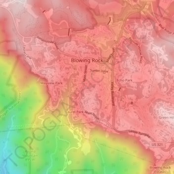
Name: Blowing Rock topographic map, elevation, terrain.
Average elevation: 1,032 m
Minimum elevation: 617 m
Maximum elevation: 1,215 m