
Larslan topographic map
Interactive map
Click on the map to display elevation.
About this map
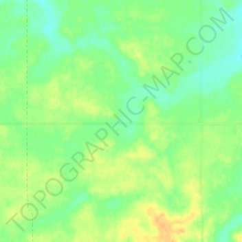
Name: Larslan topographic map, elevation, terrain.
Location: Larslan, Valley County, Montana, United States of America (48.55836 -106.21391 48.59836 -106.17391)
Average elevation: 890 m
Minimum elevation: 877 m
Maximum elevation: 904 m