
Wetteren topographic map
Interactive map
Click on the map to display elevation.
About this map
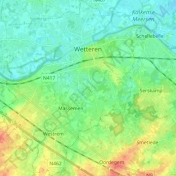
Name: Wetteren topographic map, elevation, terrain.
Location: Wetteren, East Flanders, Flanders, 9230, Belgium (50.95121 3.82069 51.02834 3.92320)
Average elevation: 14 m
Minimum elevation: -1 m
Maximum elevation: 45 m