
Santo Tomas School Area topographic map
Interactive map
Click on the map to display elevation.
About this map
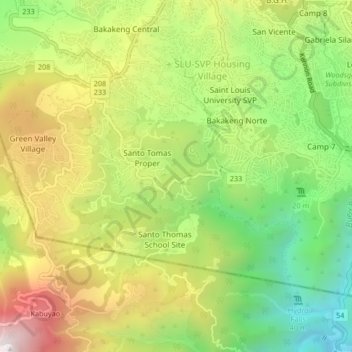
Name: Santo Tomas School Area topographic map, elevation, terrain.
Location: Santo Tomas School Area, Baguio, Benguet, 2600, Philippines (16.35901 120.56489 16.39901 120.60489)
Average elevation: 1,366 m
Minimum elevation: 838 m
Maximum elevation: 2,008 m