
Hammondsport topographic map
Interactive map
Click on the map to display elevation.
About this map
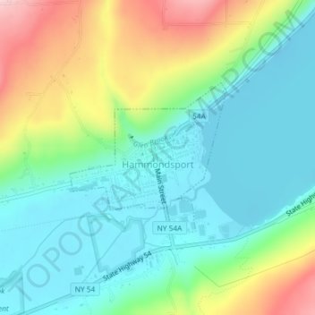
Name: Hammondsport topographic map, elevation, terrain.
Location: Hammondsport, Steuben County, New York, United States (42.40247 -77.23377 42.41449 -77.21563)
Average elevation: 288 m
Minimum elevation: 213 m
Maximum elevation: 454 m