
Krajné topographic map
Interactive map
Click on the map to display elevation.
About this map
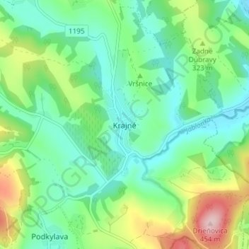
Name: Krajné topographic map, elevation, terrain.
Location: Krajné, Region of Trenčín, Western Slovakia, 916 16, Slovakia (48.68058 17.66716 48.72058 17.70716)
Average elevation: 286 m
Minimum elevation: 218 m
Maximum elevation: 450 m