
Rodeo topographic map
Interactive map
Click on the map to display elevation.
About this map
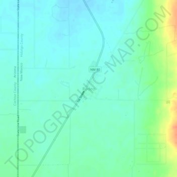
Name: Rodeo topographic map, elevation, terrain.
Location: Rodeo, Hidalgo County, New Mexico, 88056, United States (31.81644 -109.05031 31.85644 -109.01031)
Average elevation: 1,262 m
Minimum elevation: 1,251 m
Maximum elevation: 1,293 m