
Ainbal topographic map
Interactive map
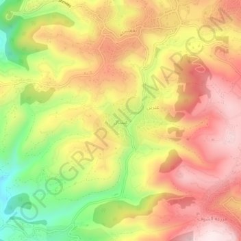
Click on the map to display elevation.
About this map
Name: Ainbal topographic map, elevation, terrain.
Average elevation: 827 m
Minimum elevation: 531 m
Maximum elevation: 1,054 m
Ainbal (Arabic: عينبال) is a village and municipality in the Chouf District of the Mount Lebanon Governorate in Lebanon. It is located 50 kilometers southeast of Beirut. Its average elevation is 850 meters above sea level and its total land area is 360 hectares. In 2010, Ainbal had 1,813 registered voters. Ainbal's inhabitants are predominantly Druze.