
Vara kommun topographic map
Interactive map
Click on the map to display elevation.
About this map
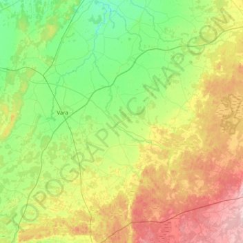
Name: Vara kommun topographic map, elevation, terrain.
Location: Vara kommun, Västra Götaland County, Region Götaland, Sweden (58.10910 12.78881 58.38896 13.40510)
Average elevation: 103 m
Minimum elevation: 50 m
Maximum elevation: 207 m
Other topographic maps
Click on a map to view its topography, its elevation and its terrain.