
Normangee topographic map
Interactive map
Click on the map to display elevation.
About this map
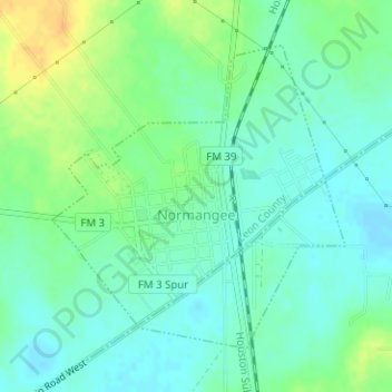
Name: Normangee topographic map, elevation, terrain.
Location: Normangee, Leon County, Texas, United States (31.02049 -96.12860 31.04135 -96.10502)
Average elevation: 118 m
Minimum elevation: 107 m
Maximum elevation: 137 m