
Myrtle Grove Wildlife Management Area topographic map
Interactive map
Click on the map to display elevation.
About this map
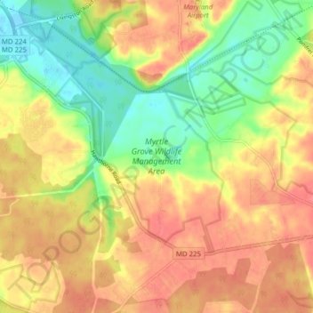
Name: Myrtle Grove Wildlife Management Area topographic map, elevation, terrain.
Average elevation: 33 m
Minimum elevation: -4 m
Maximum elevation: 58 m