
Sollefteå kommun topographic map
Interactive map
Click on the map to display elevation.
About this map
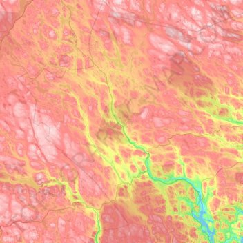
Name: Sollefteå kommun topographic map, elevation, terrain.
Average elevation: 297 m
Minimum elevation: -3 m
Maximum elevation: 589 m
Other topographic maps
Click on a map to view its topography, its elevation and its terrain.
Örnsköldsvik
Sweden > Västernorrland County > Örnsköldsvik
Örnsköldsvik, Province of Ångermanland, Västernorrland County, Region Norrland, 89139, Sweden
Average elevation: 50 m